Trekking
Toubkal Trekking Maps and Navigation: What Trekkers Should Know
8 de septiembre de 2026 · 7 min read
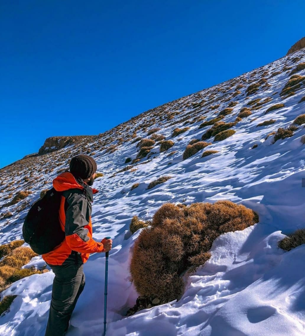
A map is a planning tool, not a substitute for judgement. What Toubkal maps show, what they cannot show, and how to navigate the massif sensibly.
What a Toubkal map is good for
Printed trekking maps of Toubkal and the surrounding High Atlas are usually published at 1:50,000, which is detailed enough to show the valley systems, the cols, the refuges and the shape of the ground. That is exactly what you want for planning: understanding how Imlil, Azzaden, Tacheddirt and the Toubkal cirque connect.
What no map shows is condition. Snow line, meltwater, a washed-out section of path, or a col that is fine in June and serious in February — none of that is printed.
Where navigation actually gets hard
The Imlil-to-refuge path is well trodden and busy in season. Difficulty concentrates elsewhere: the upper cirque in cloud, where the ground is uniform scree and the route is a matter of choosing the right line; snow cover that hides the path completely; and the tangle of village tracks lower down, where three paths leave a hamlet and only one goes where you want.
This is why summit-day decisions are made on conditions rather than distance.
Paper and phone, not one or the other
Download your offline maps before you leave the city, because mountain coverage is patchy, and carry a battery pack — cold flattens phone batteries fast. Then carry paper as well, because a paper map does not run out of charge or die when it is dropped on rock.
A compass is worth having if you can actually use one. If you cannot, a map plus a phone plus honest turn-around times is a reasonable combination.
Maps through our Imlil operation
Toubkal and High Atlas trekking maps are among the items available through our mountain-equipment operation in Imlil, alongside trekking, camping and winter equipment. We cannot promise that any particular edition is in stock on a given day, so ask for your dates.
We do not reproduce map content on this website. Published maps are copyrighted works by their publishers, and there is no downloadable version here.
The honest limit
Carrying a map does not replace preparation, fitness, conditions knowledge or, on the upper mountain in winter, a guide. Navigation is one skill among several, and it is the one that fails most quietly in cloud.
Preguntas frecuentes
- Which map covers Mount Toubkal?
- Trekkers generally use a 1:50,000 sheet covering Toubkal and the surrounding High Atlas. Editions and publishers change, so ask what is available for your dates rather than relying on an old recommendation.
- Can I download a Toubkal map from this page?
- No. Published trekking maps are copyrighted works and we do not reproduce them here.
- Is a phone app enough for Toubkal?
- It is a good tool and a poor only tool. Batteries fail in the cold and coverage is patchy, so carry paper as well and plan turn-around times in advance.
¿Todo listo para planificar tu viaje a Marruecos?
Envíanos tus fechas y los lugares que quieres visitar. Te responderemos con la disponibilidad, el precio personalizado para tu grupo y una propuesta clara.